Services
SOIL INVESTIGATION WORKS
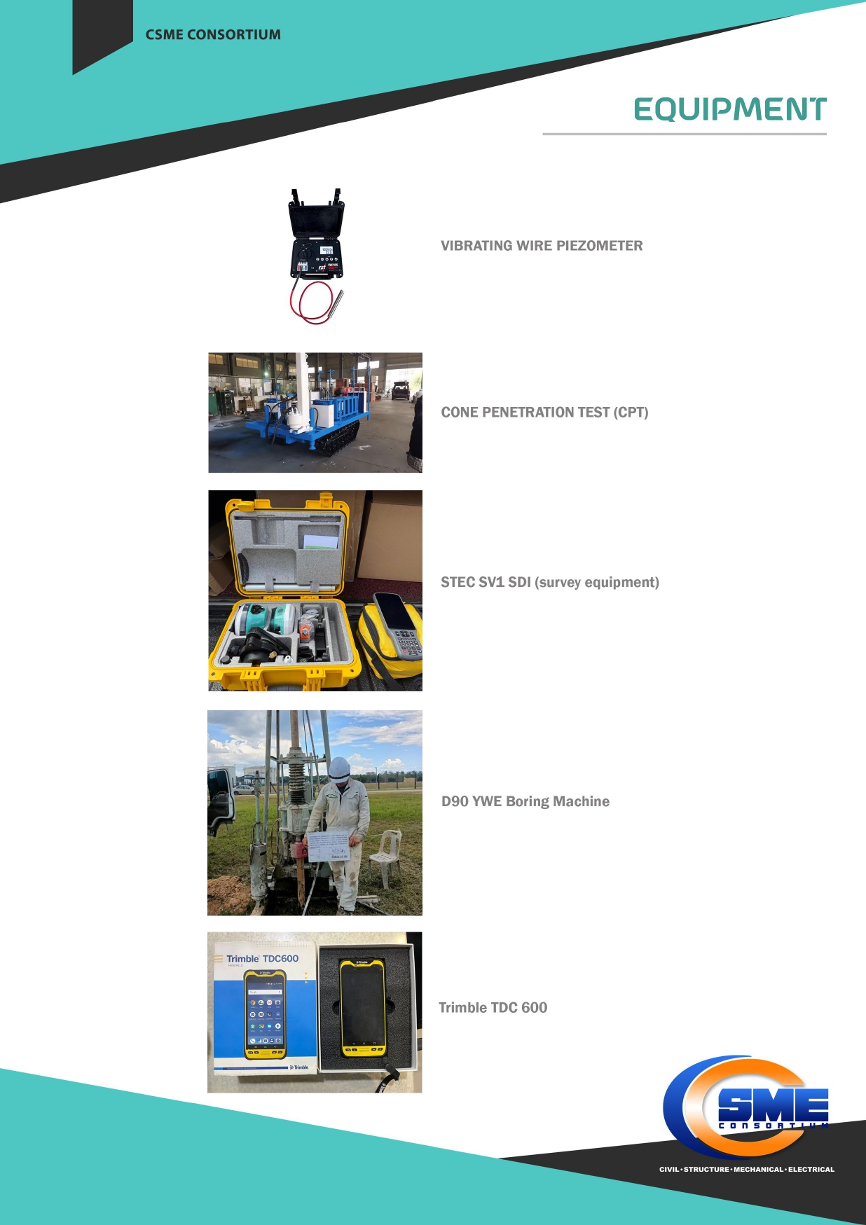
- Borehole
- Cone Penetration Test
- Mackintosh Probe
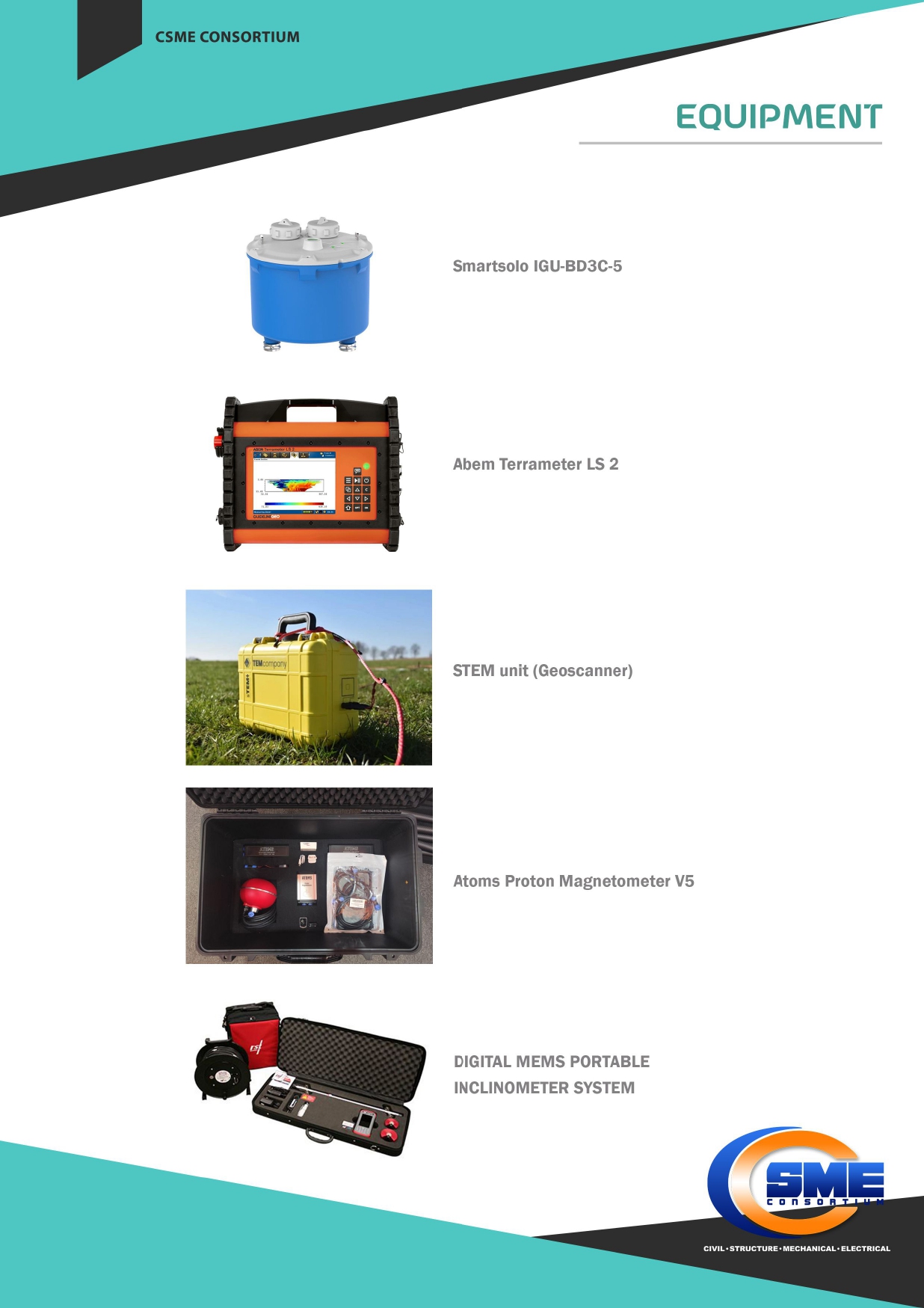
GEOTECHNICAL INSTRUMENTATION
- Stand Pipe Piezometer
- Inclinometer
- Settlement Marker
- Titlmeter
SURVEY WORKS & MAPPING
- Geological Terrain Mapping
- Land Survey
- Underground Utility Detection
GEOPHYSICAL SURVEY
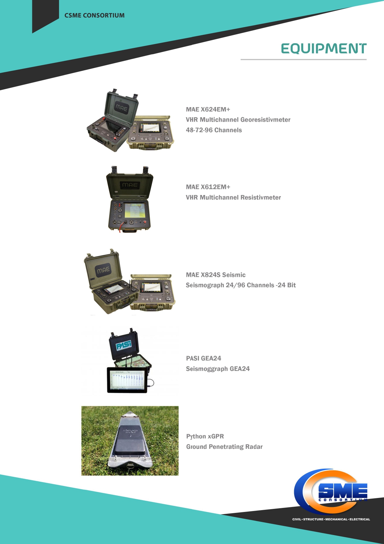
- Seismic Refraction Survey
- Resistivity Test/VES
- Downhole/Crosshole Seismic



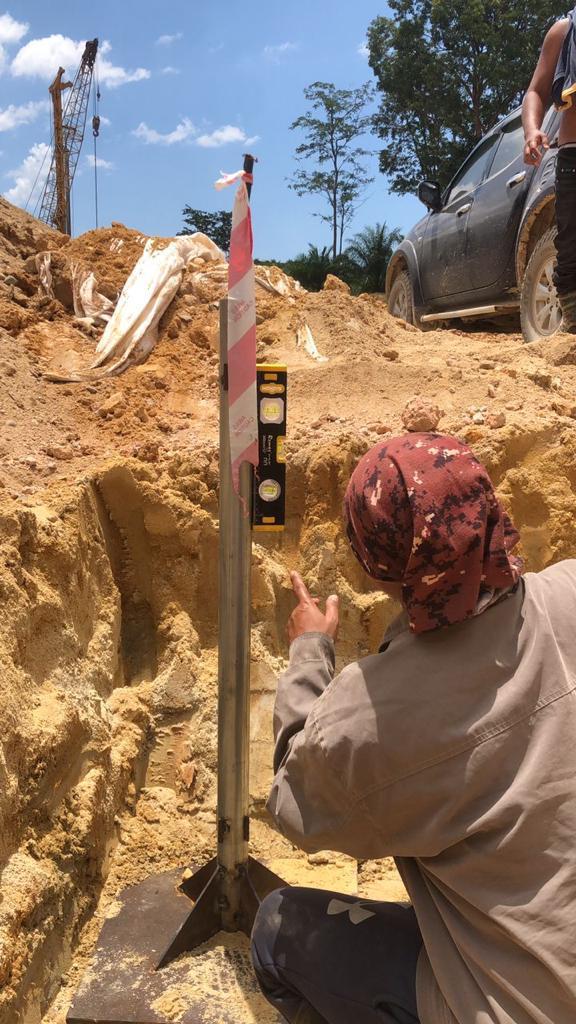


MORE INFO ABOUT SERVICES
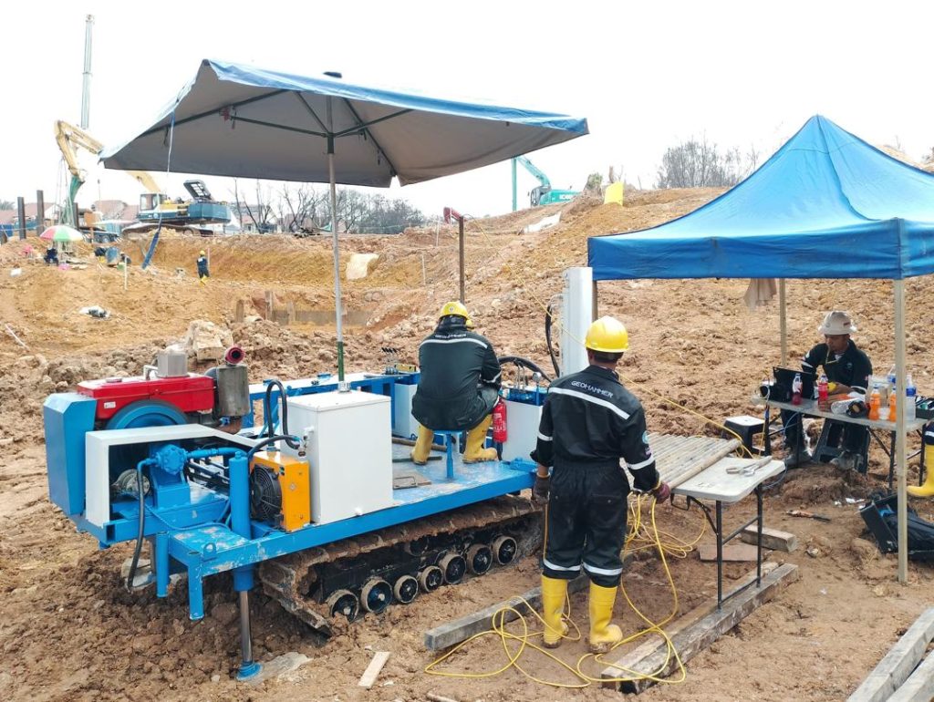
CSME has gained a well known position in the industry, because we offer a wide range of Soil Investigation Survey Service. Previous projects have been and are being implemented involving government and private agencies. Among them are the Public Works Department (JKR) Malaysia, Ministry of Agriculture and Agro-based Industry, JPS and others. These services are available in many types and can also be customized according to the requirements of the customers.
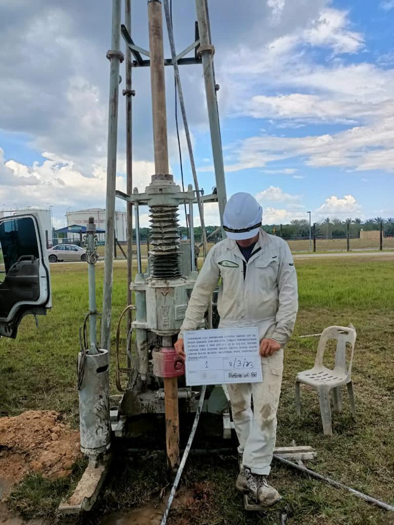
Our soil investigation services can be customized for geotechnical purposes, groundwater explorations, and others. CSME drill crews normally consist of skilled site supervisors assisted by other crews trained to classify soils and bedrock. Our team and engineers have experienced skilled manpower, CSME is committed to implementing projects related to the land investigation work entrusted to it.
- Undisturbed/Piston Soil Sampling
- Standard Penetration Test (SPT)
- Cone Penetration Test (CPT)
- Inclinometer Installation
- In-site Permeability Test
- Piezometer Installation
- Mackintosh/JKR Probe
- Field Vane Shear Test
- Diamond Rock Coring

Apart from design and investigation works, we are also involved during the construction and implementation phases of a project. We provide geotechnical and structure monitoring services in association with our affiliate companies.
The purpose of instrumentation and monitoring is to provide data to evaluate whether the instrument is performing as expected, evaluate whether construction and/or operations are impacting stability.
Specifically, this scope includes a description of the proposed instrumentation to be installed,recommended procedures for instrument installation, requirements of instrument operation, data collection, and instrument maintenance and recommendations on data management and analysis.
Our soil investigation services can be customized for geotechnical purposes, groundwater explorations, and others. CSME drill crews normally consist of skilled site supervisors assisted by other crews trained to classify soils and bedrock. Our team and engineers have experienced skilled manpower, CSME is committed to implementing projects related to the land investigation work entrusted to it.
Our service for instrumentation:
- Inclinometer
- Piezometer
- Rod settlement gauge
- Rod settlement marker
Instrumenting the ground or a structure is important to derive useful and also critical information as follows:
SITE INVESTIGATION
Instruments are used to characterize site and ground conditions and soil parameters/properties e.g. pore water pressure, effective stress.
DESIGN VERIFICATION
Instruments are used to verify design assumptions and to check that performance is as predicted so necessary measures can be taken if the parameters are unexpected.
Instruments are used to monitor the effects of construction on the structure itself or the effect of construction on existing nearby structures, e.g. crack, tilt & settlement.
QUALITY CONTROL
Instrumentation can be used both to enforce the quality of workmanship on a project and to document that work was done to specifications.
SAFETY
Instruments can provide early warning of impending failures, allowing time for safe evacuation of the area and time to implement remedial action.
LEGAL PROTECTION
Instrument data can provide evidence for a legal defense of designers and contractors for legal claims of non-performance, damages or negligence.
PERFORMANCE
Instruments are used to monitor the in-service performance of a structure while it is occupied
without disturbing the occupants.
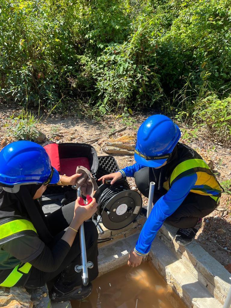

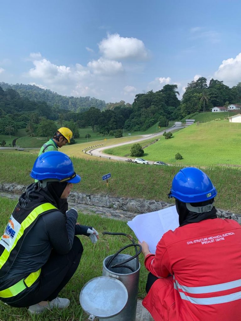
We believe geophysical techniques to be the perfect complement to site investigation and geotechnical testing to all areas of geotechnical, civil engineering, mineral and gem and groundwater industries.
Seismic & Resistivity Survey
Seismic and Resistivity surveys are useful non-invasive, non-destructive tools that can investigate geological structure and rock properties. Seismic methods can rapidly characterize a site and determine elastic properties of soil and rock for geotechnical purposes, or estimate material density of soil layers.
Electrica; properties are among the most useful geophysical parameters in characterizing Earth materials. Variations in electrical resistivity typically correlate with variations in lithology, water saturation, fluid conductivity, porosity and permeability.
We offer the following Geophysical services:
- Seismic Refraction
- Seismic Surface Wave Measurement
- Electrical Resistivity Imaging


Request for services

Send us your inquiries to learn more about us or any to know more about our company or services.


